
One of the oldest ecosystems on the planet is constantly being researched by one professor. At Arizona State University Online, Dr. Jiwei Li is changing the narrative every single day for monitoring coral reefs and seagrass.
Li holds an undergraduate degree in computer science and a master’s and doctorate in geosciences/remote sensing. His doctoral research focused on using satellite imagery to detect water bodies. Born in China, he completed his undergraduate and master’s studies in Beijing before earning his doctorate at UMass Amherst. Inspired from a young age by his exposure to the ocean as a child, he grew to love it and built a career around taking care of it.
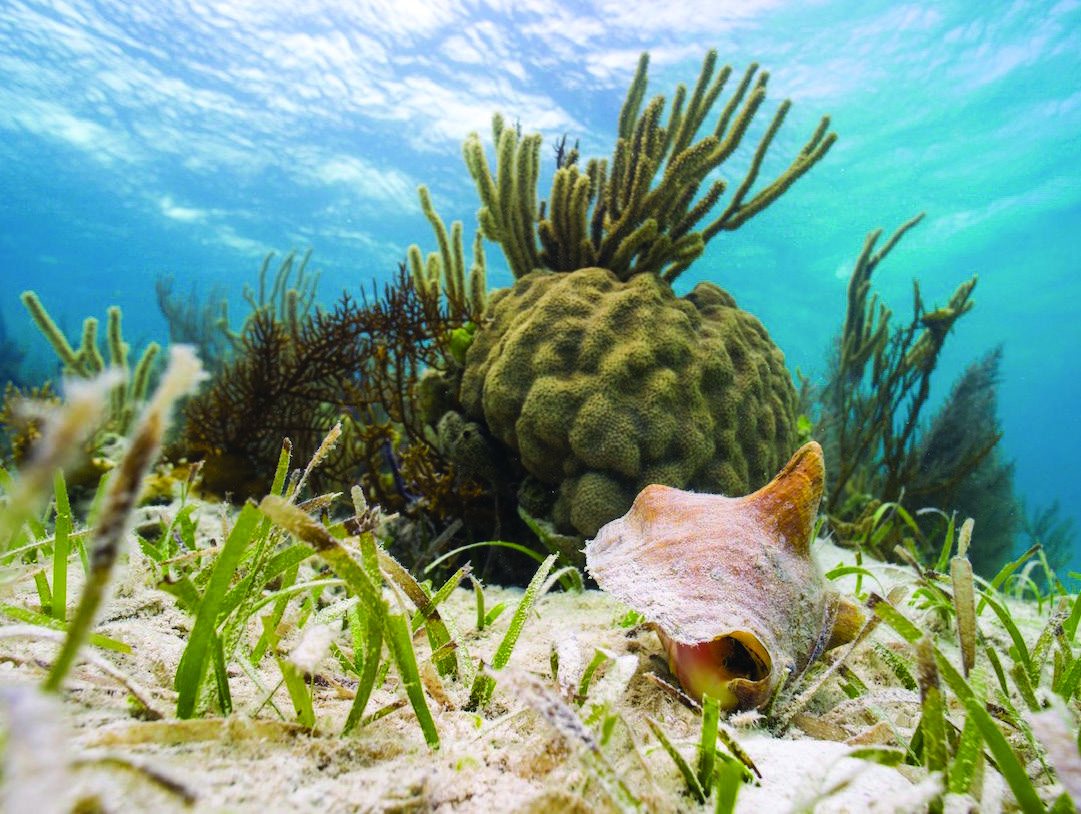
Coral reefs take up about 3.6 million square kilometers of the ocean floor. They represent a mere 1% of the ocean but are responsible for about a fifth of all marine life. That imbalance has led to years of research on this ecosystem, giving researchers new tools to monitor it. Despite the cyclical nature of a coral reef’s lifespan, these organisms are very sensitive to the changing seasons, the level of sunlight received and everything in between. Monitoring means tracking whether reefs are bleaching at a different stage than usual, whether pollution is taking up their living space and how they grow and take over new areas.
No stranger to the water or to collaborating with other professors and researchers, Li explains that most ocean remote sensing has historically focused on open water, where scientists track things like chlorophyll levels and ocean currents in water too deep to see the bottom. Reefs are a different challenge.
“Before you can study what’s happening to a coral reef, you need to peel the seawater off, essentially strip away that signal to see what’s underneath,” Li said. “That’s the majority of our effort: dealing with that limitation and finding ways to work around it.”
Much of the fieldwork, the actual diving and data collection, happens through collaborators at partner sites in Hawaii and the Caribbean. Li’s role is what happens after: feeding millions of satellite images into deep learning models built on Google Earth Engine, a cloud computing platform that lets researchers scale their analysis from a single reef to an entire coastline or ocean basin.
That scalability is also central to why Li believes ocean science belongs in the online classroom. Teaching in the ASU Online Ocean Futures program has allowed him to help those who are interested in caring for the ocean but may not be able to be near one.
“We have the satellite, we have the ocean monitoring data, we have buoys,” Li said. “If you’re not in the field, you can still study the ocean. You just have to know how to gather the data, analyze it, and let it inform what happens next.”